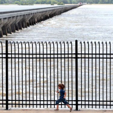
The Associated Press obtained exclusive data from a risk analysis firm that showed frequent flooding and flood risk hit communities along the Mississippi River at a 30% higher rate than the U.S. as a whole, then performed its own analysis to find and report on some of the hardest-hit towns.
This package had its roots in reporting Michael Phillis did two years ago on Clarksville, Mo., a town that had struggled to get funding for a removable wall. Phillis interviewed people who had been forced out but was frustrated at the lack of reliable data to pinpoint flooding’s impact on the town and how climate change might have made some floods worse.
Some 18 months later, when a risk management firm released a peer-reviewed study of flooding’s impact nationwide, Phillis saw an opportunity. After writing an initial story about that research, he asked the firm to give AP its proprietary data for the Mississippi River exclusively. That data allowed a comparison with the whole U.S. Then, data journalist Camille Fassett analyzed it further to focus on the most affected communities, and to humanize the issue of flooding over time.
Phillis and longtime St. Louis journalists Jim Salter and Jeff Roberson — both veterans of countless floods in the region — then visited the towns of West Alton, Ill., Hannibal, Mo. and Cairo, Ill., and collected stories from the people affected by the flooding. Koko Nakajima worked with Fassett’s data to produce graphic maps that told each community’s story in an instant. Brittany Person worked with Roberson to help produce a video package.
The package was at the top of AP’s reader engagement in the week it appeared, at more than 2 minutes. It was collected in the Society of Environmental Journalists’ daily roundup of top stories. Play included the Washington Post, PBS, St. Louis Post-Dispatch, Detroit News and many more.
Visit AP.org to request a trial subscription to AP’s video, photo and text services.
For breaking news, visit apnews.com.


